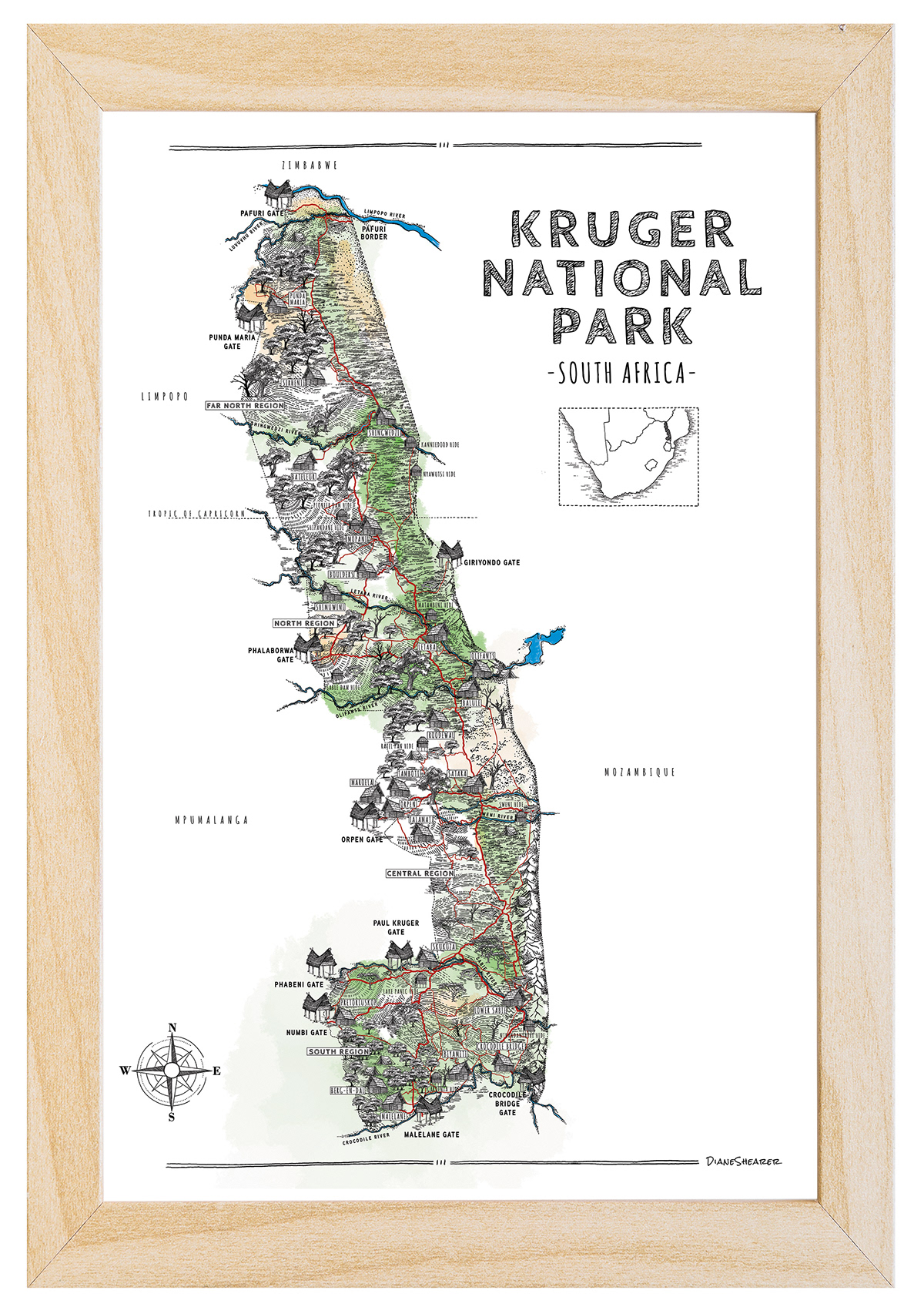
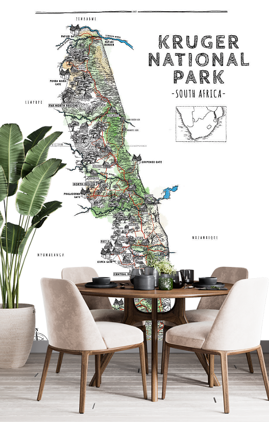
This detailed map captures the beauty and vastness of the park, highlighting its most famous landmarks and areas of interest. From the Sabie River in the south to the Limpopo River in the north, every inch of the park has been carefully hand drawn with precision and care. The map also includes major roads, gates, and rest camps, making it a perfect guide for visitors planning a trip to the park. This unique and one-of-a-kind map is a must-have for any Kruger National Park enthusiast.